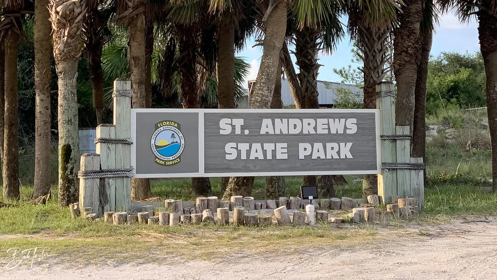
Before the Gates: The History of St. Andrews State Park
This article is part of my ongoing series, St. Andrews State Park: Reflections on the Place That Always Felt Like Home—a collection of stories drawn from more than six decades of walking these beaches and trails, and watching this shoreline change and stay the same. I grew up in Panama City with the park woven into the background of my childhood, left for many years, and eventually returned in retirement to rediscover it with fresh eyes and a camera in hand. Each story explores a different piece of the park’s history, character, and everyday magic—from storms and wildlife to boats, trails, sunsets, and all the memories in between. If this place feels special to you too, I hope these reflections feel familiar.
St. Andrews State Park looks so fresh and new when you’re standing on the pier at sunrise that it’s easy to forget just how much history is buried beneath the sand. The story of the park isn’t just about the dunes or the jetties—it’s the story of how a quiet bayfront community, a turpentine industry, a wartime airfield, and one massive dredging project all shaped the peninsula we know today.
This is the modern story of St. Andrews, told from the shoreline up.
Why It’s Called St. Andrews
The name “St. Andrews” reaches back to the era of early Spanish exploration. When Spanish navigators mapped the Gulf Coast in the 1500s–1600s, they often named bays after saints—usually the one whose feast day matched the date they charted the shoreline. Our bay appeared on those early maps as Bahía de San Andrés, likely recorded near November 30, the feast day of Saint Andrew the Apostle.
By the early 1800s, that name was firmly in place on European charts, and the bay was recognized as a deep, sheltered harbor worth noting. Permanent settlers began arriving in the 1820s, spreading out around what would later become St. Andrews, Beach Drive, and Lake Caroline. They fished, built boats, boiled seawater for salt, and hosted summer visitors who came for “healthy sea baths” and good fishing—early hints of the tourism that would define the area.
As the settlements of Panama City, Millville, and St. Andrew grew together, Bay County was formed in 1913, giving the region a clearer civic identity. St. Andrew was annexed into Panama City by 1927, but its character as a working waterfront and quiet getaway remained. And through it all, the name that started with a Spanish mapmaker stuck—eventually becoming the name of the community and, in 1947, the state park that anchors this corner of the coast.
Before the beach crowds: the pine forests and turpentine
Long before campers and beach umbrellas, the land behind the bay supported one of Florida’s oldest industries: turpentine and naval stores.
Workers tapped longleaf pines, gathered resin, and distilled it into turpentine and rosin used in shipbuilding, paints, soap, and countless industrial products. Entire “turpentine camps” once operated in the St. Andrews area and across the peninsula.
Most evidence of that era has long since vanished into storms, development, and later hurricane losses. But it’s an important reminder that the peninsula lived a full working life before it ever became a park.


The pass that changed everything
For generations, the tip of the peninsula was known as Lands End—beautiful but bordered by a shallow, shifting bay entrance.
That changed in the mid-1930s, when the U.S. Army Corps of Engineers dredged a deep shipping channel and lined both banks with granite jetties. The project reshaped the landscape in three dramatic ways:
1. It created modern Shell Island.
The dredging cut a straight, deep pass that split Lands End in two. The Gulf-facing half became the 7-mile barrier we now know as Shell Island, while the mainland side evolved into the campground, lakes, and shoreline of today’s state park.
2. It turned Panama City into a true port.
A stable deep-water entrance let larger vessels access St. Andrew Bay, helping drive fishing, shipbuilding, industrial growth, and later military logistics.
3. It set the stage for the park itself.
The jetties shaped the currents, trapped sand, and formed the calm lagoon and shoreline patterns we still recognize. Long before Florida took ownership, the engineering work had already drawn the outline of the park.

War comes to the peninsula
The next major transformation came with World War II.
In 1940–41, the U.S. Army chose the East Peninsula—across the bay—as the site for a flexible gunnery school: Tyndall Field. Within months, thousands of troops arrived, and small communities like Cromanton and San Blas disappeared into the footprint of the base.
On the west side of the pass—today’s park—the military built coastal defenses: concrete gun positions and lookout points aimed at guarding the newly dredged shipping channel.
After the war:
Tyndall Field became Tyndall Air Force Base in 1948.
The eastern half of Shell Island remained under military control, while
The western portion would eventually be managed as part of the state park.
To this day, the line across the water between the park and the far end of Shell Island marks the boundary between public recreation and active military space.
A hermit between eras
One figure bridges the gap between the raw, undeveloped peninsula and the future state park: Theodore “Teddy” Tollofson.
Shipwrecked by a 1929 hurricane, Teddy built a makeshift camp near the jetties and lived there for decades, fishing and keeping mostly to himself. When the park was created, he was allowed to remain until the end of his life.
Before there were gates, maps, or rangers, there was Teddy—proof that this land has always drawn people who wanted the simplicity of wind, sand, and water.
From military ground to public land: the birth of the park
After WWII, many former military tracts along Florida’s coast were reassigned. On the west side of the pass, the federal land was eventually transferred to the state for public use.
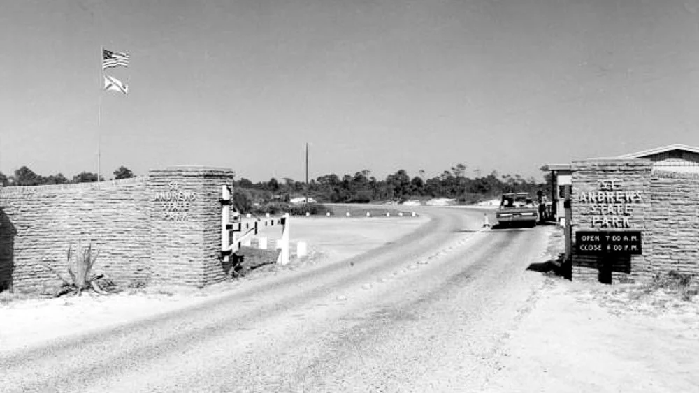
1947: St. Andrews State Park was officially established with a few hundred acres.
Over time, additional land—including the western end of Shell Island—expanded the park to more than 1,200 acresof dunes, beach, marshes, lakes, and bay shoreline.
Some wartime structures—like concrete gun mounts—still show up after storms shift the sand. They’re reminders that this peaceful shoreline once hosted soldiers tracking threats instead of tourists tracking dolphins.
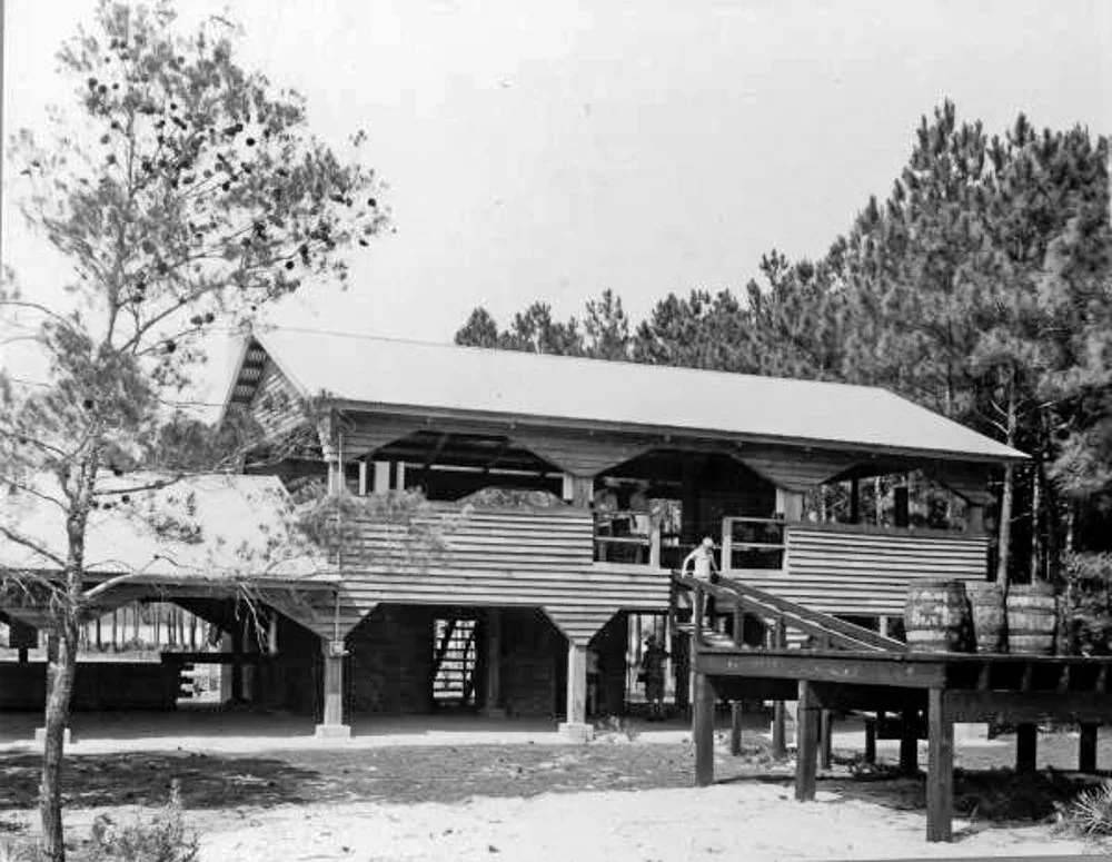
By the 1960s and ’70s, the state had added campgrounds, picnic areas, trails, boat access, and fishing piers. The park had become the quieter, natural counterpart to the growing beachfront strip.
Panama City, tourism, and who the park was for
Meanwhile, Panama City and Panama City Beach were booming—bridges, highways, motels, seafood restaurants, and marinas all multiplying during the rise of car-based tourism in the mid-20th century.
In that world, St. Andrews State Park served several purposes:
A natural counterweight to the neon and noise of the strip
A place where families could spend a full day for next to nothing
A refuge that preserved the “Old Florida” landscape of dunes, pine woods, and quiet water
Old photos from the 60s and 70s show the same things families still do today: camping, fishing, snorkeling, boating, and simply being together in the sand.


A place shaped by history—and ready to hold your story
Look at the park today and it’s easy to forget what came before—turpentine workers tapping pines, engineers cutting through Lands End, soldiers watching the Gulf, hermits living off the land, families piling into station wagons for a day in the sun.
All those threads—industry, war, engineering, tourism, and the everyday lives of working families—wove together to create St. Andrews State Park.
Before any of us walked its piers or hiked its trails, the place had already lived a dozen lives.
And that history is part of why it still feels steady, familiar, and, for many of us, a place that quietly says:
“You’re home.”